Description
Essex Hundred Maps package
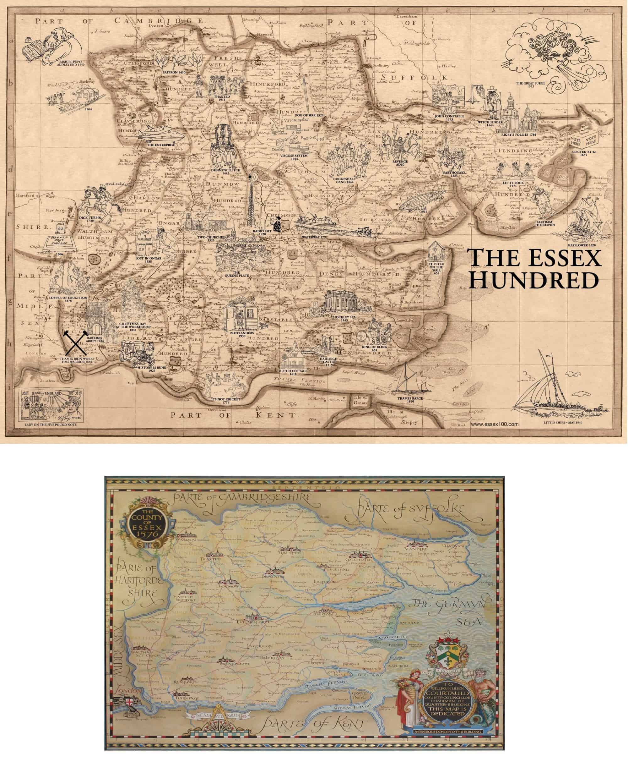
1. A unique map of the Hundreds of Essex, based on the Ogilby and Morgan map of 1678 superimposed with the historical drawings of Essex events by Liz Summers.
This map also forms the basis of the book jackets for the ESSEX HUNDRED and THE ESSEX HUNDRED HISTORIES and BATTLEFIELD ESSEX.
Size 295 x 415mm – paper
Please note the map is beige colour – web image does not provide exact colour match.
2. The 1938 Courthauld Map of Essex as imagined in 1576 showing the the old county borders.
Size 210 x 297mm – paper
Both maps £10.00 inclusive of postage to any UK address.

